Ecuador Shaken: A Powerful 6.3 Earthquake Hits Coast
2025-04-25
Author: William
A Tremor Felt Across Ecuador
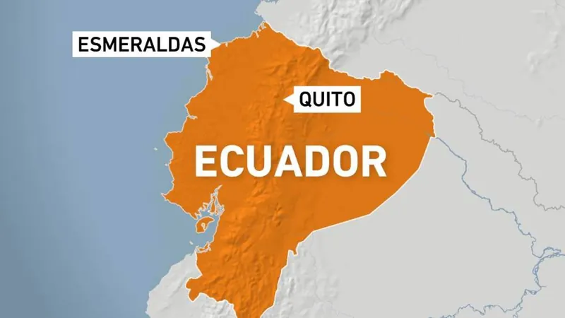
A powerful magnitude 6.3 earthquake rocked Ecuador this morning, sending shockwaves through communities near the Pacific coast. The seismic event struck at approximately 6:45 AM local time (11:45 GMT) near the northwestern city of Esmeraldas, at a depth of about 30 kilometers (18.6 miles), according to the European-Mediterranean Seismological Centre.
Widespread Damage and Power Outages
Reports of trembling buildings poured in from ten provinces, even reaching the capital, Quito. Social media is abuzz with images showcasing significant structural damage, particularly in Esmeraldas, where many residents are facing power outages. The state energy company, Petroecuador, has suspended operations at the Esmeraldas refinery and SOTE pipeline as a precaution following the quake.
Government Response and Public Safety Measures
In response to the disaster, President Daniel Noboa took to social media, assuring citizens that the government is mobilizing to provide shelters and humanitarian aid. "The government is with you," he declared, emphasizing the commitment to support the affected communities.
Casualties and Structural Damage
Authorities reported that at least one person sustained head injuries due to the tremor. Among the damaged facilities were a health center and a military building, with part of the latter’s facade collapsing. Eyewitnesses recounted the intense fear as the quake struck.
Ecuador's Seismic History: A Warning of Vulnerability
Ecuador has endured a tragic history of seismic disasters. Notably, in 2013, a quake that affected both northern Peru and southern Ecuador resulted in at least 14 fatalities, damaging homes, schools, and clinics. The country also experienced the devastating aftermath of a magnitude 7.8 earthquake in 2016—the strongest in decades—which claimed at least 77 lives and left more than 500 injured.
A Geologically Active Region
Geographically, Ecuador is located along the Pacific's "Ring of Fire," a notorious area known for its frequent earthquakes and volcanic activity. It lies at the convergence of the Nazca and South American tectonic plates, two enormous segments of the Earth's crust that move against each other at an average rate of about 65 millimeters (2.5 inches) per year.


 Brasil (PT)
 Canada (EN)
 Chile (ES)
 Česko (CS)
 대한민국 (KO)
 España (ES)
 France (FR)
 Hong Kong (EN)
 Italia (IT)
 日本 (JA)
 Magyarország (HU)
 Norge (NO)
 Polska (PL)
 Schweiz (DE)
 Singapore (EN)
 Sverige (SV)
 Suomi (FI)
 Türkiye (TR)
 الإمارات العربية المتحدة (AR)