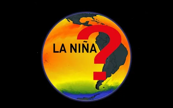
La Niña Approaches Stealthily: What This Means for Global Weather Patterns
2024-12-13
Author: Emily
The atmosphere is already behaving as though we are in a La Niña phase, even if the ocean temperatures haven't caught up to the typical indicators. A La Niña watch remains active this month as meteorologists closely monitor a critical area of the Pacific Ocean for indications of evolving conditions that could significantly alter weather patterns around the world, including in places like the United States and Canada.
According to the U.S. Climate Prediction Center (CPC), a more than 50% chance exists for La Niña to officially develop by the winter of 2025, with predictions pointing toward a return to neutral conditions by spring. Specifically, the CPC's latest monthly report suggests a 59% probability of La Niña arriving by January.
What is La Niña?
But what exactly does La Niña entail? This climate phenomenon occurs when ocean waters in the eastern Pacific are at least 0.5°C cooler than average for a consecutive span of roughly seven months. Notably, La Niña acts as the cooler counterpart to its warmer relative, El Niño, and both are part of the El Niño-Southern Oscillation (ENSO) cycle, which plays a crucial role in regulating global weather.
Impacts of La Niña
The impacts of La Niña are particularly noteworthy. For Canada, the arrival of this climate pattern often brings about cooler conditions throughout the western provinces while creating more unpredictable weather in the eastern regions. This year, even though ocean temperatures have yet to reach the crucial threshold that would trigger an official declaration, patterns such as trade winds and rainfall across the Pacific suggest that La Niña's influence may already be underway.
Understanding the Relationship Between Ocean and Atmosphere
The blend between ocean temperatures and atmospheric dynamics is complex. While sea surface temperatures often set the standard for declaring an El Niño or La Niña phase, atmospheric changes can precede temperature anomalies. Notably, the relationship between ocean and atmosphere is a tightly interwoven one, wherein shifts in one domain directly affect the other.
Looking Ahead
With La Niña's understated emergence, it raises questions about what we might expect in terms of weather in the coming months. Can we expect harsher winters, unpredictable spring rains, or altered hurricane patterns? Understanding these dynamics is vital for farmers, transportation sectors, and anyone affected by weather changes. Stay tuned as the forecasts evolve and this enigmatic climate pattern continues to unfold.
Will this La Niña deliver a winter to remember, or will it remain a fleeting whisper in the weather annals? Time will tell!


 Brasil (PT)
 Canada (EN)
 Chile (ES)
 España (ES)
 France (FR)
 Hong Kong (EN)
 Italia (IT)
 日本 (JA)
 Magyarország (HU)
 Norge (NO)
 Polska (PL)
 Schweiz (DE)
 Singapore (EN)
 Sverige (SV)
 Suomi (FI)
 Türkiye (TR)