Southern Ontario Faces Rare October Thunderstorm Threat Before Winter's Chill Arrives
2024-10-06
Southern Ontario Faces Rare October Thunderstorm Threat Before Winter's Chill Arrives
In an unusual clash of seasons, Southern Ontario is bracing for a risk of severe thunderstorms on Sunday, marking a surprising weather event as the region prepares for an abrupt cooldown that could bring snow and frost later in the week.
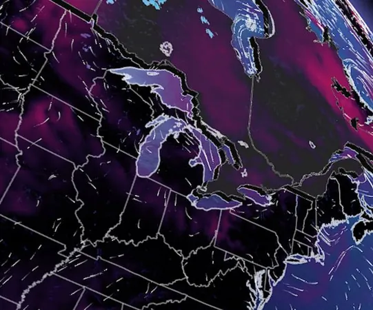
Forecasters predict that Sunday could be Southern Ontario's last chance for widespread thunderstorm activity this year, with conditions ripe for severe weather. A strong low-pressure system, currently moving across Canada, is set to interact with warmer-than-normal temperatures in the south, creating an unusual scenario for October.
While late-season thunderstorms are uncommon, they aren't unprecedented in Ontario. In November 2020, for instance, a tornado struck Georgetown, proving that you can never count out the possibility of severe weather, no matter the time of year.
After the thunderstorms on Sunday, a significant temperature drop is expected to usher in cold conditions, making way for snowfall and frost across various regions of Ontario.
Sunday's Weather Outlook:
A cold front will sweep through Southern Ontario during the peak heating of the day, triggering thunderstorms that will begin developing around Georgian Bay and progress eastward throughout the afternoon.
Any severe thunderstorms that manage to form may bring heavy rainfall, strong winds potentially exceeding 80 km/h, hail, and the risk of power outages and fallen trees. Some areas, particularly in cottage country, Prince Edward County, and Kingston, could receive up to 40 mm of rain.
Although thunderstorms are anticipated, the atmospheric conditions bring a degree of uncertainty about their severity due to factors like cloud cover and the timing of the cold front. Yet, past experiences suggest that similar setups could produce unexpected intensity.
Cooler Days Ahead:
As the storms diminish by Sunday evening across the Niagara Peninsula and eastern Ontario, much cooler weather will settle in. From Monday onward, a period of autumnal chill is expected, with temperatures dropping several degrees below seasonal averages. While rural areas north of Toronto may see frost or freezes, the city itself is likely to remain above freezing.
Fortunately for those seeking warmth, temperatures are projected to rebound near or above seasonal norms towards the end of the week, coinciding with the start of the long weekend. However, a second wave of colder conditions is expected during the holiday period.
Looking further into October, a warm pattern may return, but with the understanding that temperatures can drop sharply as the days progress – typical for this time of year.
Stay informed with the latest updates from The Weather Network as Southern Ontario navigates this remarkable weather transformation!


 Brasil (PT)
 Canada (EN)
 Chile (ES)
 España (ES)
 France (FR)
 Hong Kong (EN)
 Italia (IT)
 日本 (JA)
 Magyarország (HU)
 Norge (NO)
 Polska (PL)
 Schweiz (DE)
 Singapore (EN)
 Sverige (SV)
 Suomi (FI)
 Türkiye (TR)