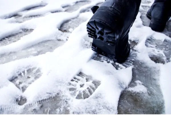
Is Winter Finally Coming? Ontario's Mild Fall Weather Takes a Nosedive!
2024-11-20
Author: Benjamin
The glorious warm days of fall are swiftly slipping away in southern Ontario, leaving residents buzzing with anticipation for the winter chill. Are you ready for what’s next? Snow is quietly creeping into the forecast as we approach December!
As November kicked off, it felt like an extension of summer with record-breaking warm temperatures and bright sunshine. However, the mild conditions we’ve enjoyed are now fading, and the last days of November will start reflecting the typical cool weather associated with the month.
What to Expect This Weekend:
Friday:
This Friday is forecasted to be mainly cloudy and rather windy, with occasional showers expected. Temperatures will remain a few degrees above normal, but a northern wind gusting up to 50 km/h will definitely add to the chill. Rainy weather will linger into the evening, although temperatures will stay above freezing – a small win for late November!
Saturday:
Prepare for a blustery Saturday! The day will see scattered showers, particularly in regions southeast of Lake Huron and Georgian Bay, where rainfall could be more persistent. While temperatures will still hover above seasonal averages, the brisk northwest wind, gusting at 40 km/h, will be notable. For Saturday night, expect some breaks in the clouds, but scattered showers could continue in certain areas.
Sunday:
Looking forward to Sunday, the weather holds promise for more outdoor activities, although it will largely still feel like a typical November day. Areas near and south of Highway 401 may even get glimpses of sunshine amidst the cloud cover. Keep an eye out for scattered showers, particularly southeast of Georgian Bay and across eastern Ontario. Temperatures will feel more like early November, but if you plan on enjoying any festivities, such as a Santa Claus parade, don’t forget your warm layers to combat the chilly wind!
What Lies Ahead?
Looking into next week, expect a gradual drop in temperatures, aligning with seasonal averages as we settle into December. The first week of the month may see chilly conditions that could even lead to our first significant snowfall of the season. Early forecasts suggest that low-pressure systems could bring rain mixed with wet snow, especially to northern parts of Ontario.
As the holiday season approaches, keep checking back for updates, and prepare for that first magical blanket of snow to transform our picturesque landscapes! Will you be ready when winter finally arrives? More than just chilly winds are on the horizon!


 Brasil (PT)
 Canada (EN)
 Chile (ES)
 España (ES)
 France (FR)
 Hong Kong (EN)
 Italia (IT)
 日本 (JA)
 Magyarország (HU)
 Norge (NO)
 Polska (PL)
 Schweiz (DE)
 Singapore (EN)
 Sverige (SV)
 Suomi (FI)
 Türkiye (TR)